 Skip to content

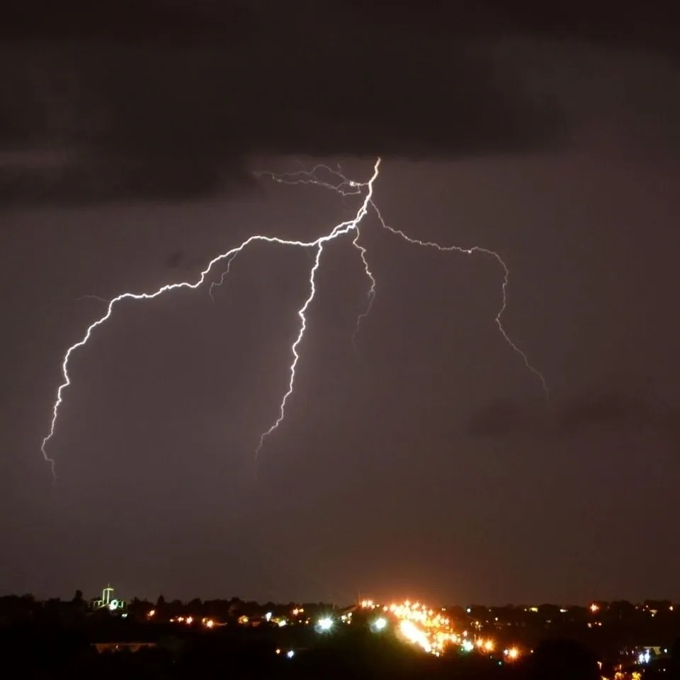
Terms You Need to Know This Hurricane Season
Knowledge is power, especially when it comes to Hurricane season. What is the difference between a hurricane watch and a hurricane warning? Read on to find out!
Hurricane Warning:
Hurricane warnings are issued 36 hours in advance of storms that could potentially reach the 74 miles per hour threshold. The hurricane warning is issued in advance so that homeowners and businesses have ample time to prepare. Click here for more tips on preparing your home for a storm.
Hurricane Watch:
When a hurricane watch is issued, there is a high chance that winds could reach 74 miles per hour, and that the threat of a hurricane is possible. A hurricane watch does not mean a hurricane will occur but may be possible due to the given conditions.
Landfall:
The term “landfall” means that the center of the hurricane or the “eye of the hurricane” has reached land. It is important to note that the weather in the center of the eye is calm and is then surrounded by very severe and dangerous thunderstorms where strong winds occur. Experts advise that you stay inside until the hurricane completely passes.
NOAA:
The NOAA, or the National Oceanic and Atmospheric Administration, forecasts weather as well as oceanic and atmospheric conditions.
Learn more about the NOAA: Click here
Tropical Storms:
A tropical storm is described as a low-pressure wind system that forms over the ocean with hurricane-force winds. Tropical storms have winds between 39 and 73 mph. Most tropical storms produce heavy rainfall that can cause severe flooding.
Now that you can differentiate hurricane watches from hurricane warnings, you can be in the know this Summer as we move through hurricane season.
Check out our tips on how to stay cool this summer to beat the Houston heat: Click to read
We are Houston’s one-stop shop for all things generator. Make sure you follow us on Share this post:
Categories:
- Ceiling Fans (3)
- Electrical Services (3)
- Generator (1)
- Generator Maintenance (6)
- Home Improvements (14)
- Homeowner Tips (8)
- Hurricane Preparedness (8)
- Hurricane Season (8)
- Indoor Lighting (8)
- Landscape Lighting (3)
- Outdoor Lighting (3)
- Pool and Spa Lighting (2)
- Power Outages (1)
- Remote Monitoring (1)
- Standby Generators (16)
- Surge Suppressors (2)
- Transfer Switch (1)
- Troubleshooting (1)
- TV Mounting (1)
- Water Heaters (1)
- Winter Weather (1)
Recent Posts
-
 27 Oct 2025What to Know About Outdoor Lighting Before Your Next Backyard BBQ
 -
 07 Aug 2025Why August is an Ideal Time to Schedule Generator Maintenance
 -
 13 Jun 2025Top Signs Your Generator Needs Summer Maintenance
 -
 03 Jun 2025What Size Generator Do I Need for My Home?
 -
 22 May 2025Curb Appeal: 6 Electrical Upgrades Most Homeowners Overlook